-min.png)
Structural Steel Detailing
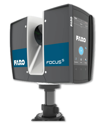
Arowana is a professional managed engineering solutions provider with expertise in Design & detailed engineering. We provide fully detailed and accurate drawings with the assistance of the world’s most advanced powerful and flexible detailing softwares and tools.

.svg)
.png)
.png)
.png)
.png)
.png )
.svg)
.svg)
.svg)
.svg)
.svg)
.svg)
.png)